 The Friends of Lopez Hill publish a trail map/brochure to help raise funds for our organization. On Lopez Island, maps are available at the Lopez Bookshop, the Lopez Chamber of Commerce, Isabel’s Espresso, Village Cycles, and the Islander Resort. You can also download a PDF of the map here: Lopez Hill Trails.
(This map was last updated in 2021 and the San Juan Co. Land Bank is working on updates. We’ll post them here when they are available.)
For a beautiful, 2-sided, full color copy of the trail map, please send a donation of $1.00 (or more) to:
San Juan County Land Bank, be sure to put Friends of Lopez Hill in the memo field, and mail to:
Friends of Lopez Hill, c/o SJ Co Land Bank, 350 Court Street #6, Friday Harbor, WA 98250.
Trailhead access
The public trailhead is located off of the north end of Lopez Sound Road. From the Lopez School, go east on School Road. At 1.2 miles, take a sharp right onto Lopez Sound Road. At 2.35 miles, turn right onto the bumpy gravel entry road, which ends at the parking area. There is parking for 4-6 cars.
The San Juan County Land bank has a handout showing directions and very basic trail configurations. Our printed map provides much more detail of the trails and includes the key to the trail marker system.
Note: There is NO access to Lopez Hill from Lopez Hill Road.
Please respect the surrounding neighbors and do not cross onto private land.
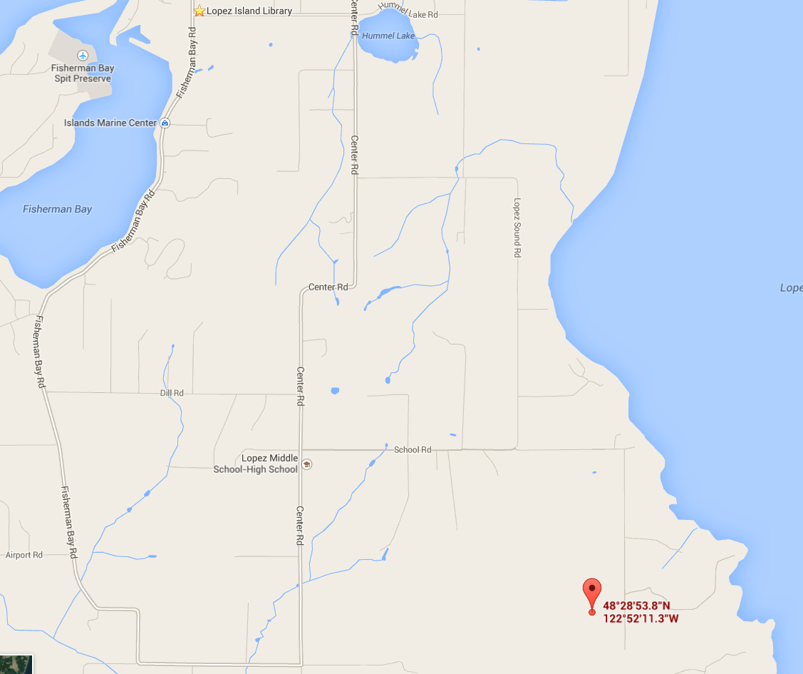
Trailhead GPS coordinates: 48.481613,-122.869806
